Welcome To TitheMaps.co.uk
What are Tithe Records?
A system where a person gave 10% of their income or crops to the church or those lay people who had the rights to receive the former monastery tithes.
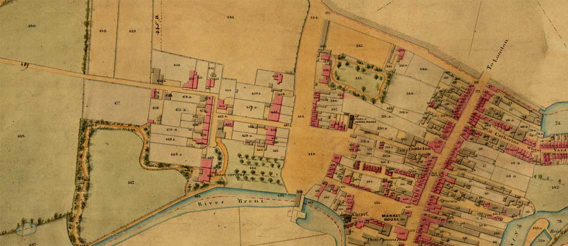
In the early years of Victoria’s reign the government undertook a vast land survey of England and Wales to cover the majority of these two countries between 1837 and the mid 1850s. The authorities used the information to create apportionment books which detailed the plots of land owned and occupied by all levels of society. These schedules were then linked to very detailed maps to identify where the plot was.
Tracing your family using Tithe Records
The Tithe records are very name rich with both landowners and occupiers recorded at the time that the survey of the various parishes took place. By discovering an ancestor in these records you can find the land that they may have farmed, or made their living from, as well as the houses, gardens and other buildings that they may have inhabited. Using the accompanying tithe maps it is then possible to see the actual location of the land occupied or owned by a forebear in relation to the area.
What the records can tell you
Tithe Records show the researcher the name of the owner, as well as the occupier, of each apportionment. They record a description plus the size of each plot and the value it was assessed to pay in tithes. In the tithe apportionment books and on the maps you are able to see castles, manor houses, houses, fields, woods, cottages, gardens and more where your ancestors were recorded.
About the website
On this website, you can find out about Tithe Maps & Records, and read a history about why and how Tithe Records were surveyed. There is a list of what Tithes are available online. There are also links to related sources and websites.